
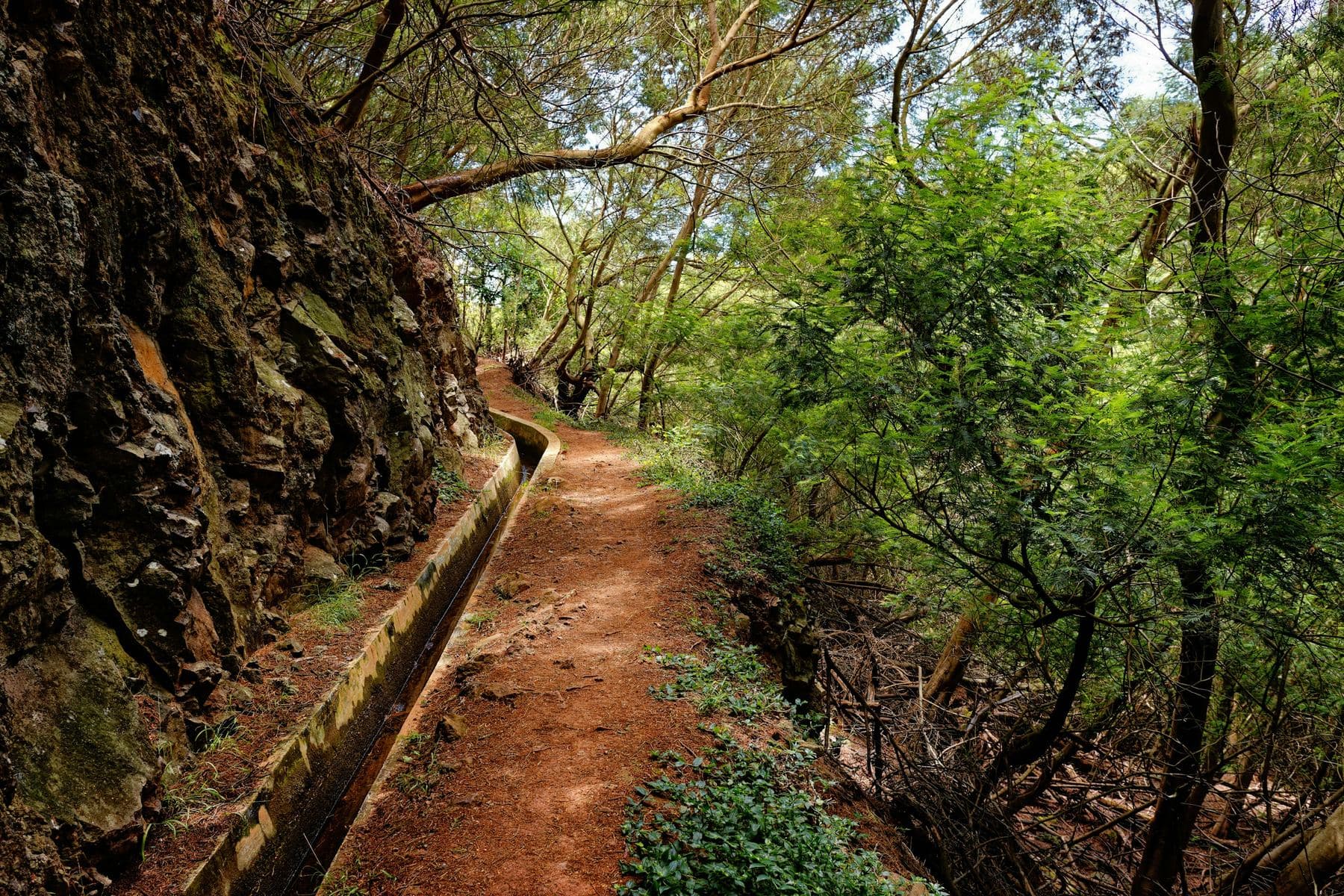
More than 2,000 kilometres of water channels cut by hand across the mountains, and the best walks on the island.
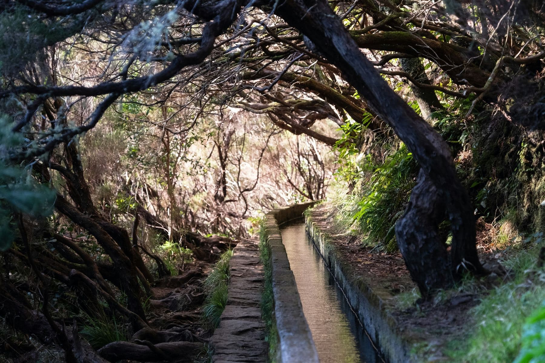
Rain falls on the north of Madeira and the farmland is in the south. From the first decades of settlement, islanders dug channels along the contour of the mountains to bring the water round, cutting ledges into cliffs and tunnels through ridges.
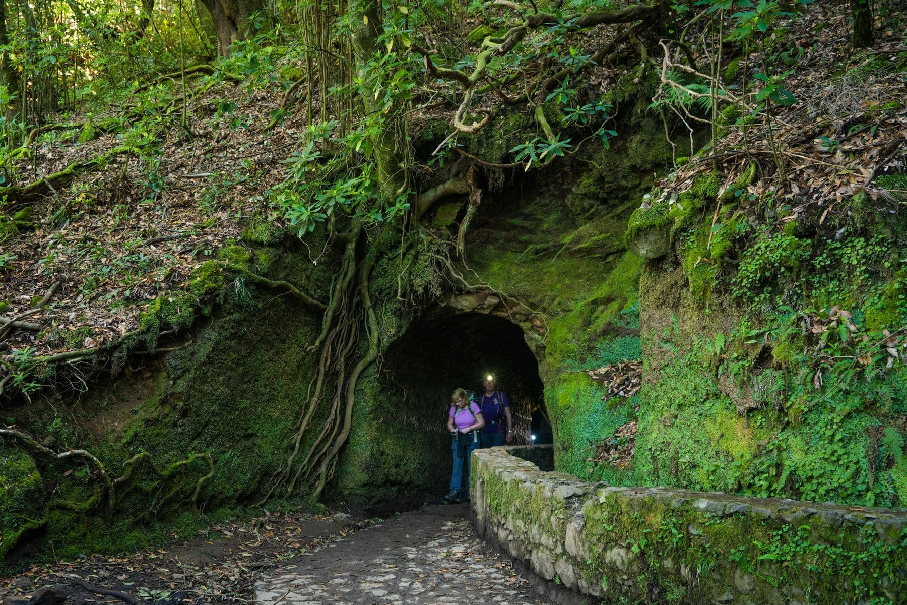
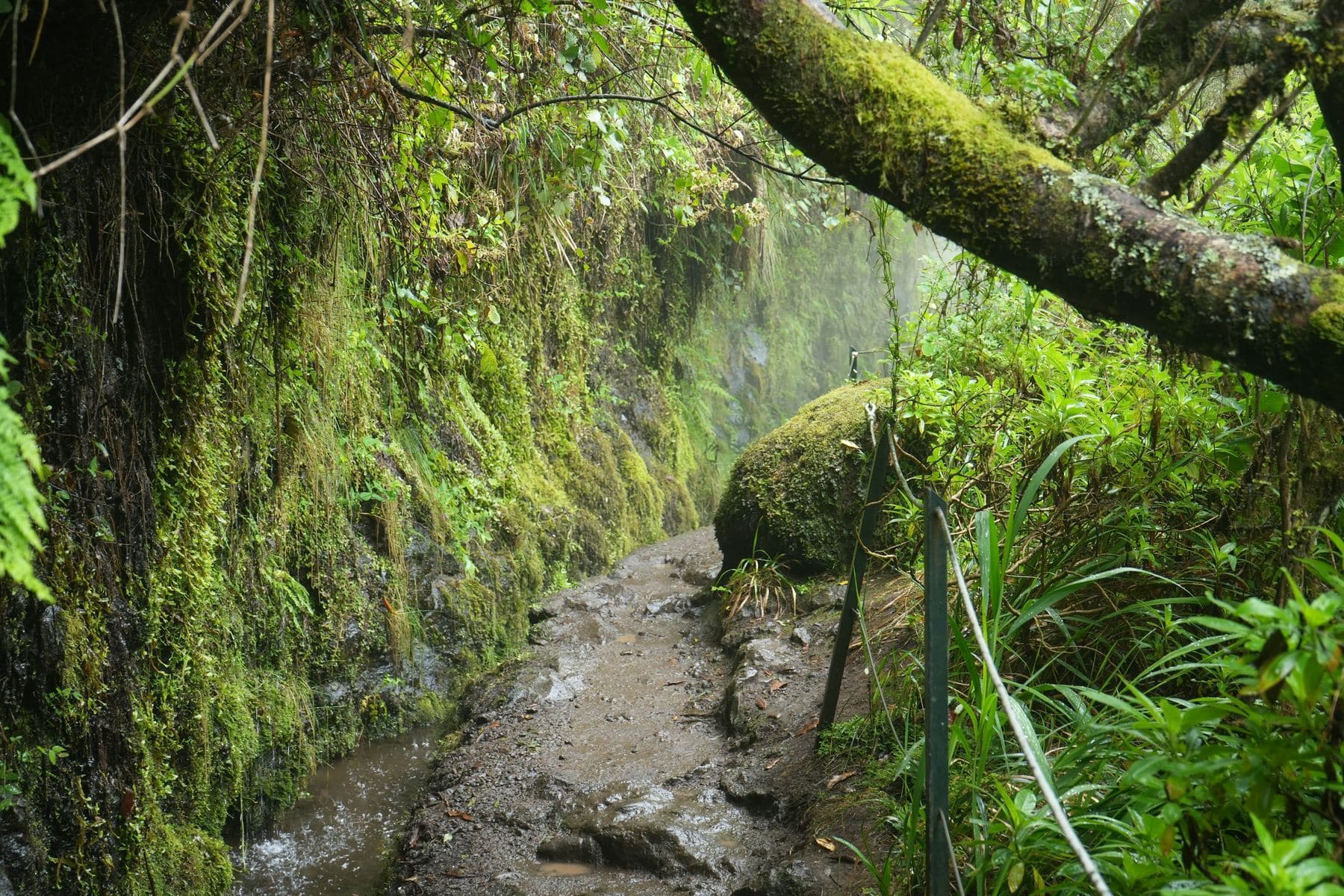
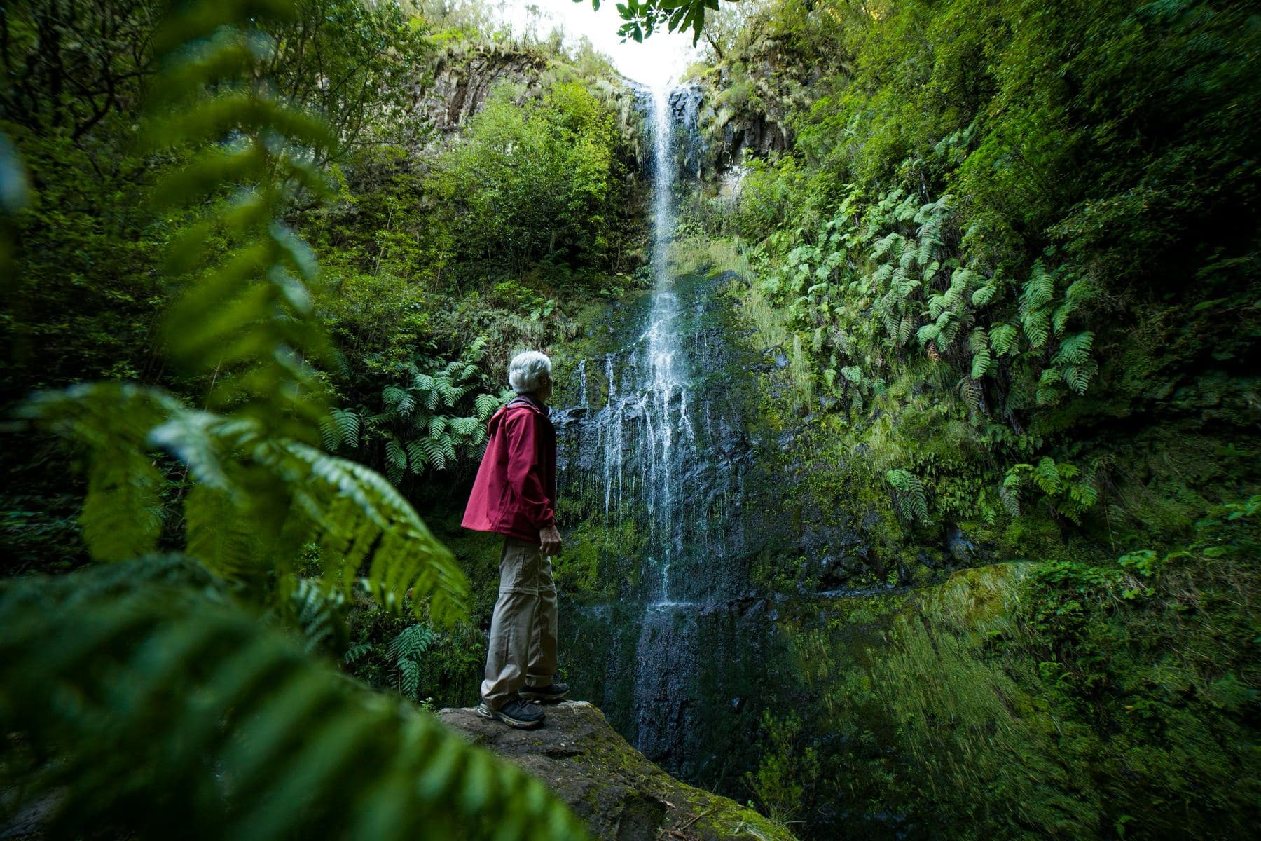
Each levada has a maintenance path beside it, almost level, and those paths are now the island's walking network. They take you into the laurel forest, behind waterfalls and along drops that will hold your attention.
A tipTake a torch for the tunnels and shoes with grip, and check which trails are open with the regional forestry institute (IFCN) before you go.
- Total lengthmore than 2,000 km
- First builtfifteenth century
- Purposecarry water from the wet north to the dry south
At the end of the route, in Funchal, four artists draw whatever you bring back from the island: a place, a flower, a word, a set of coordinates.
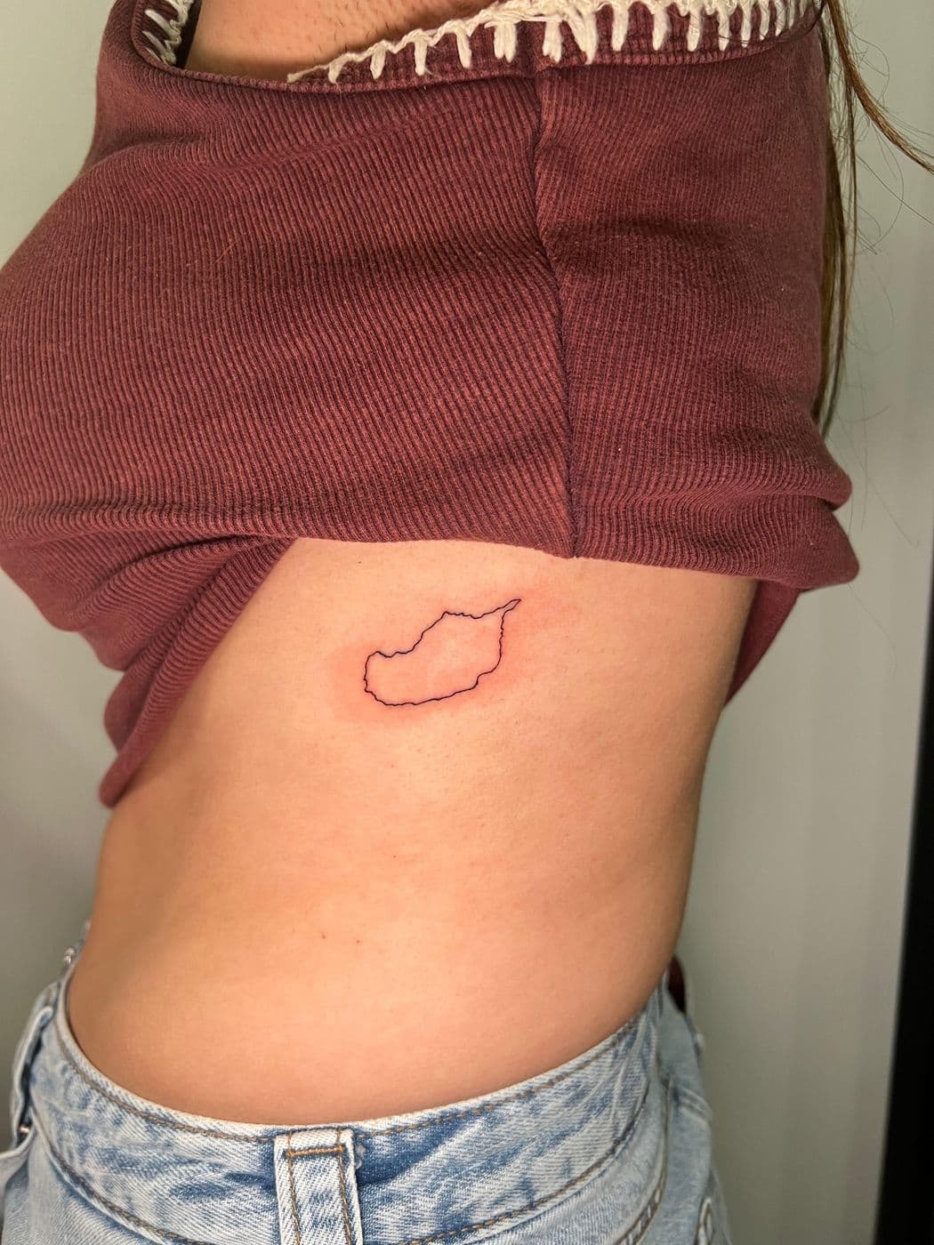
The outline of the island
Madeira in a single line.